Abdullah Alam
11 Jul 2021
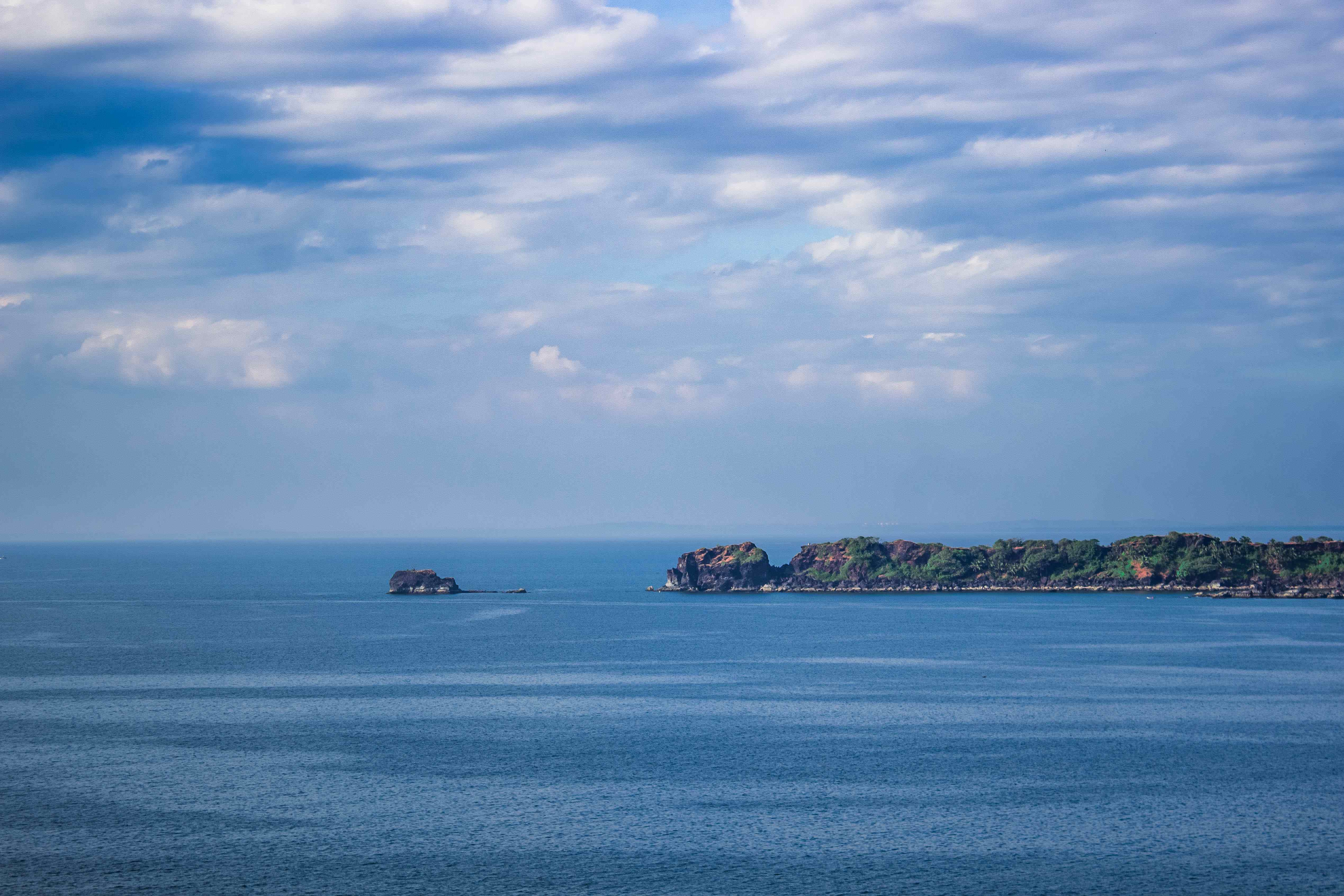
Garbett Point and Garbett Plateau are situated at the top of one of the several mountains in the Matheran range. It it is at approximately the same altitude as Matheran, but having an open vista all around, with very few tall trees, it offers incredible views of the range all around. Here's how to get there.
Route #1: Bhivpuri
The route from Bhivpuri is the longer of the two. It is more scenic and beautiful, but also longer and slightly more difficult.
Here are the details -
Arrive at Diksal village. Bhivpuri railway station is located at the edge of Diksal, making it a convenient access point for the trek. From here, walk up to the reservoir of Dhom dam. The reservoir is near Diksal, and takes barely a couple of minutes to walk there.
Once at the reservoir, look for a trail that begins along the left bank of the reservoir. The trail is quite scenic, and runs at ground level along the bank for quite some distance, crossing streams and waterfalls. After walking some distance you will come across a river that runs into the reservoir. Cross this river to find the trail that leads up to the next village, Sagachiwadi. The trail leading to Garbett Plateau skims around Sagachiwadi. Follow the trail to reach Garbettt Plateau.
Garbett Point is another point a small climb up from the plateau, the highest point of that particular mountain.
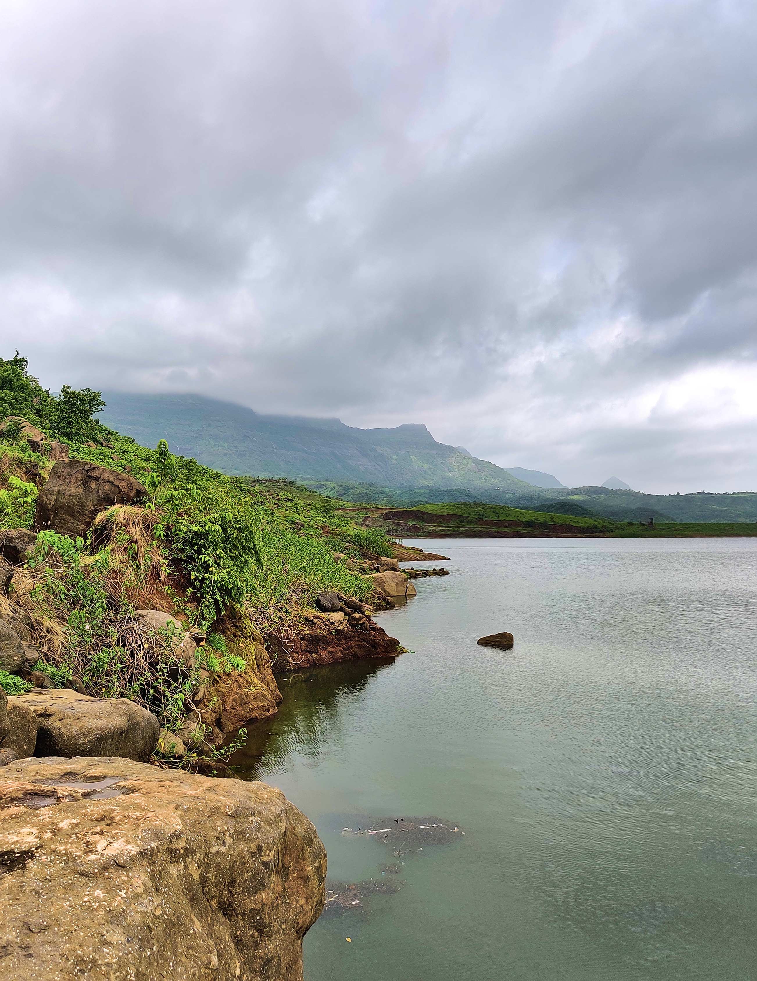
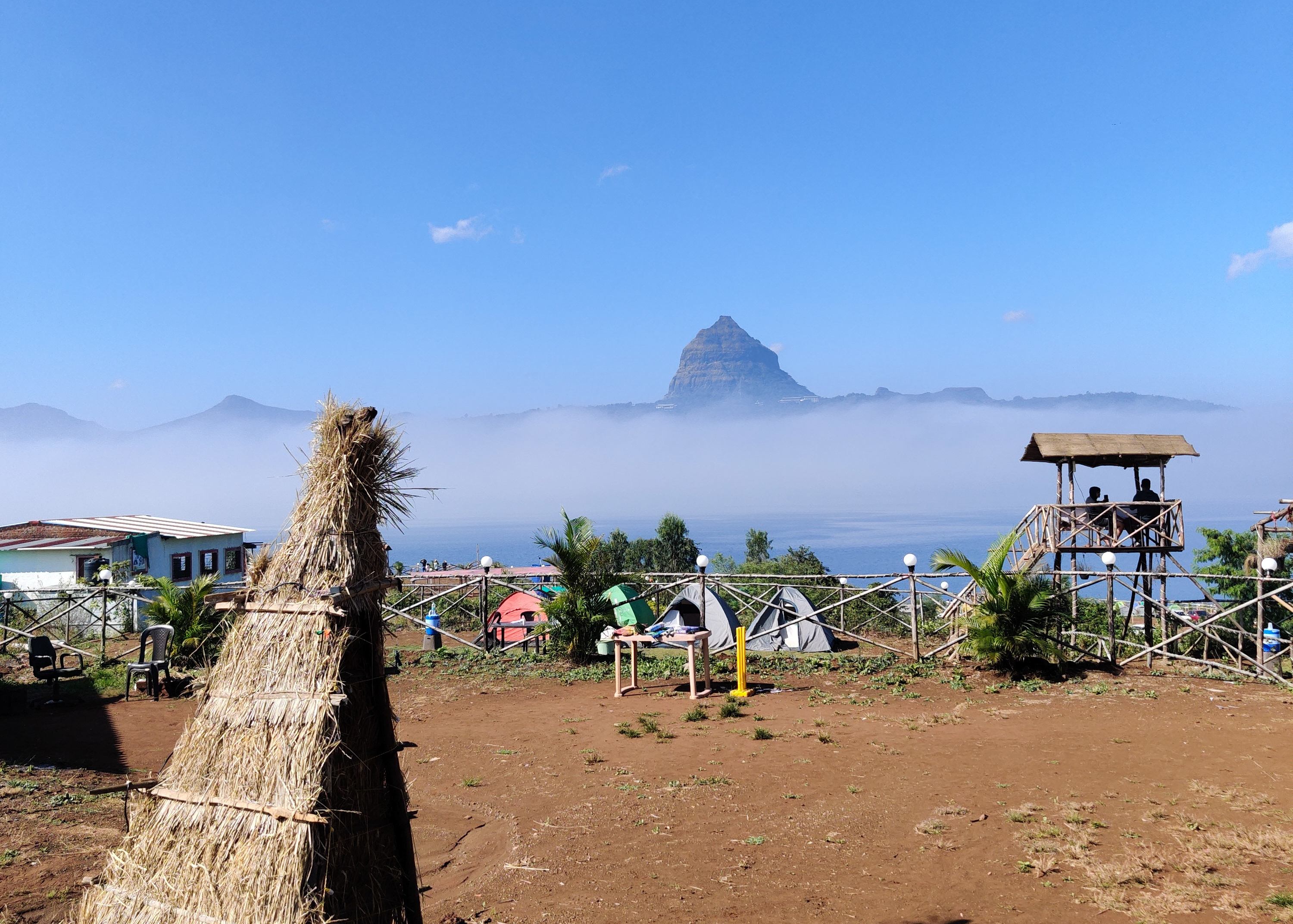
Dhom Dam Reservoir

Cattle grazing near Sagachiwadi
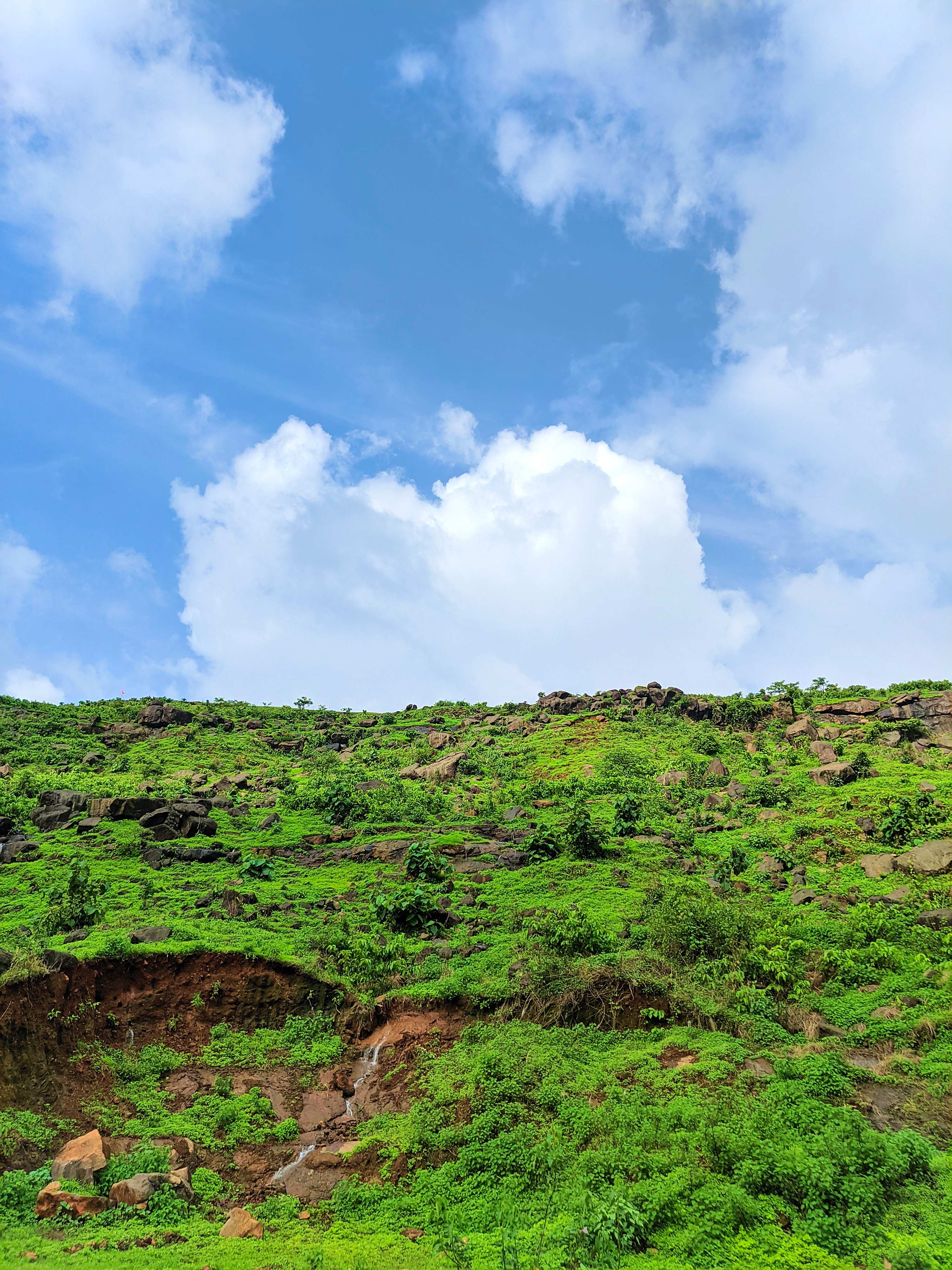
The climb up to Garbett Plateau after Sagachiwadi
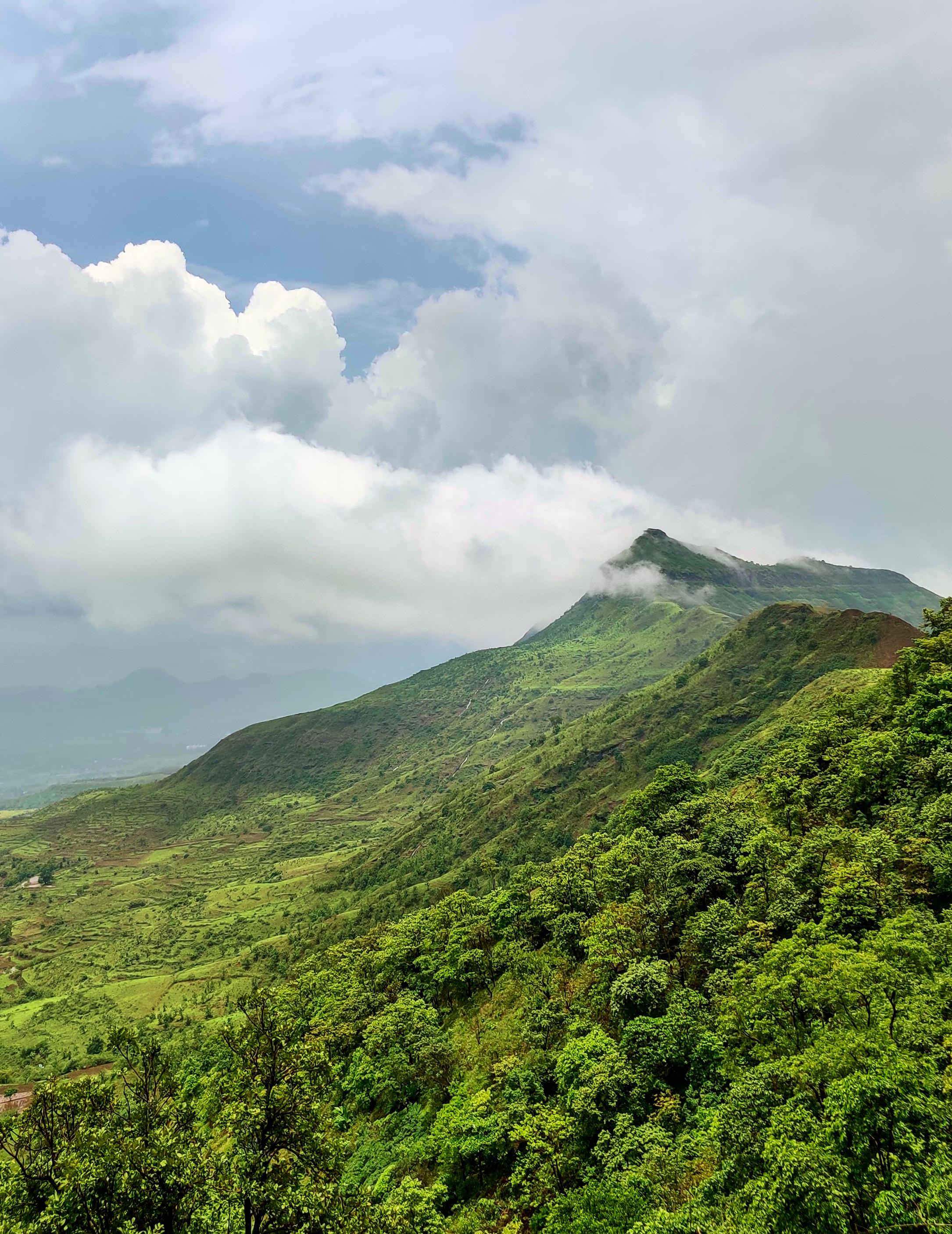
Garbett Point from Garbett Plateau
Route #2: Matheran
This route is the easier one. Along the winding road upto Matheran, there is an opening in the wall on the left side, from where a trail that directly leads to Garbett Plateau begins. The local drivers there know where this is, and will drop you off at the right spot. The route is straightforward and well-made, and leads right to the plateau. A lot less challenging, it is perfect if you just want to visit the plateau to chill out for a while.
Suggestion
The Bhivpuri route is tricky to climb down in monsoons; the last leg of the trail is steep, with water trickling over the rocks. Easy enough to climb up, but trickier to climb down. Doable, but difficult. Here is an itinerary that I would advise to follow -
- Train to Bhivpuri
- Bhivpuri -> Dhom
- Dhom -> Sagachiwadi
- Sagachidwadi -> Garbett Plateau
- Garbett Plateau -> Matheran
- Matheran -> Neral
- Train back home from Neral
The route to Matheran from Garbett Plateau begins on the right side of the hillock on which Garbett Point is situated.
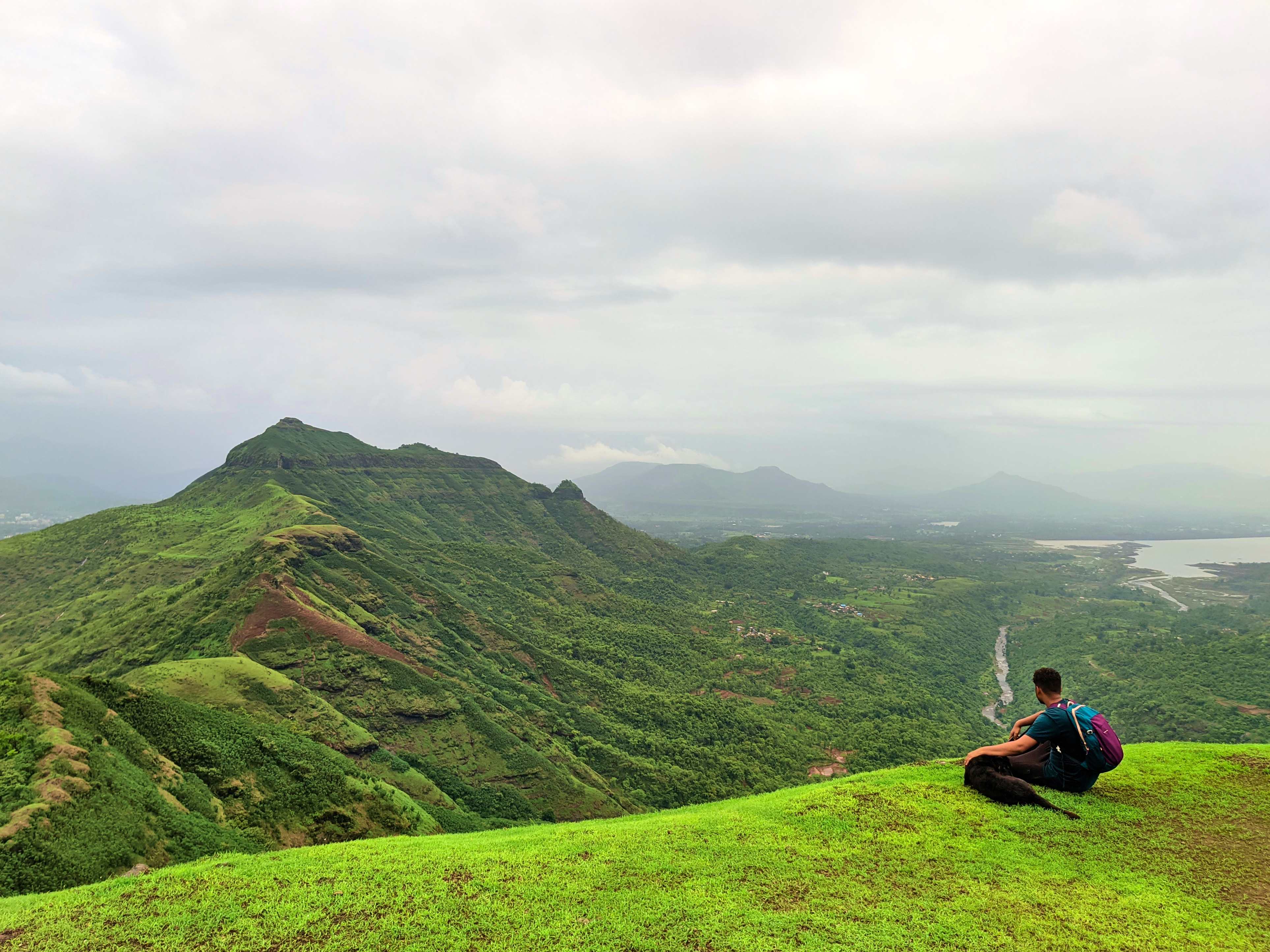
View from the end of the plateau
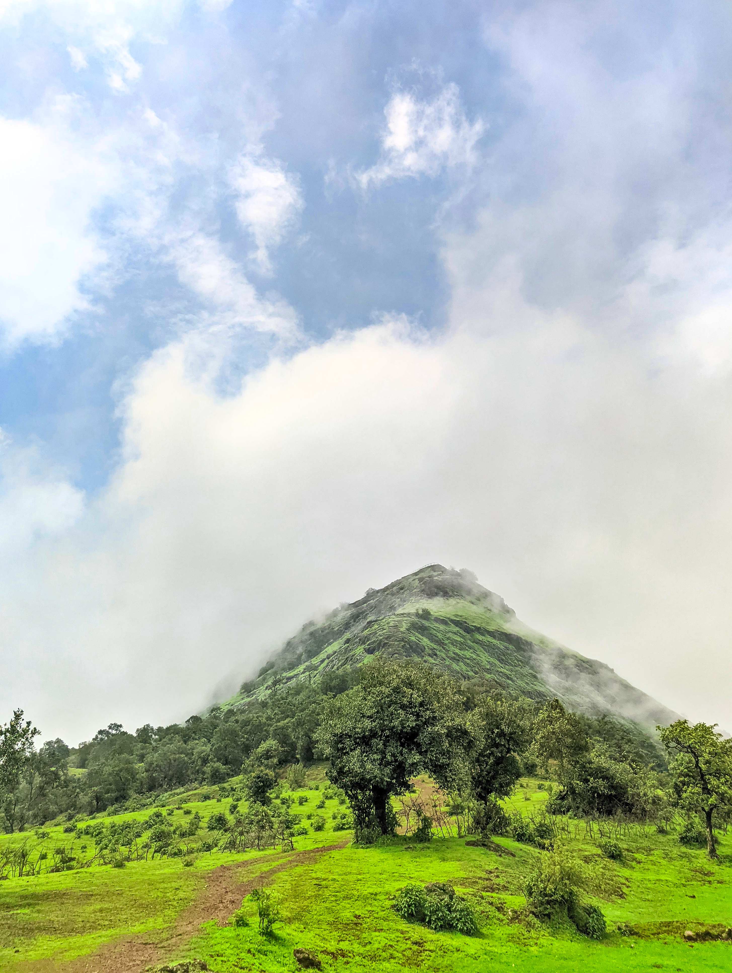
Cloud Formation
On one end of the plateau, lies Garbett Point. On the other end, the plateau ends into a cliff that forms a ridge with another mountain a little distance ahead (pictured above). That ridge, along with Garbett Plateau itself, form ideal conditions for orographic lift; a phenomenon where air moves up a sudden rise in the topography, either due to anabatic wind or simply horizontal winds being pushed up against a mountain.
This rising air cools down adiabatically, resulting in the rapid formation of clouds. If you are lucky, you might be able to see this happen up close.
About The Authors

Abdullah Alam
I like to go places, take pictures, and build things. It doesn't need to be more complicated than that.
Leave a comment